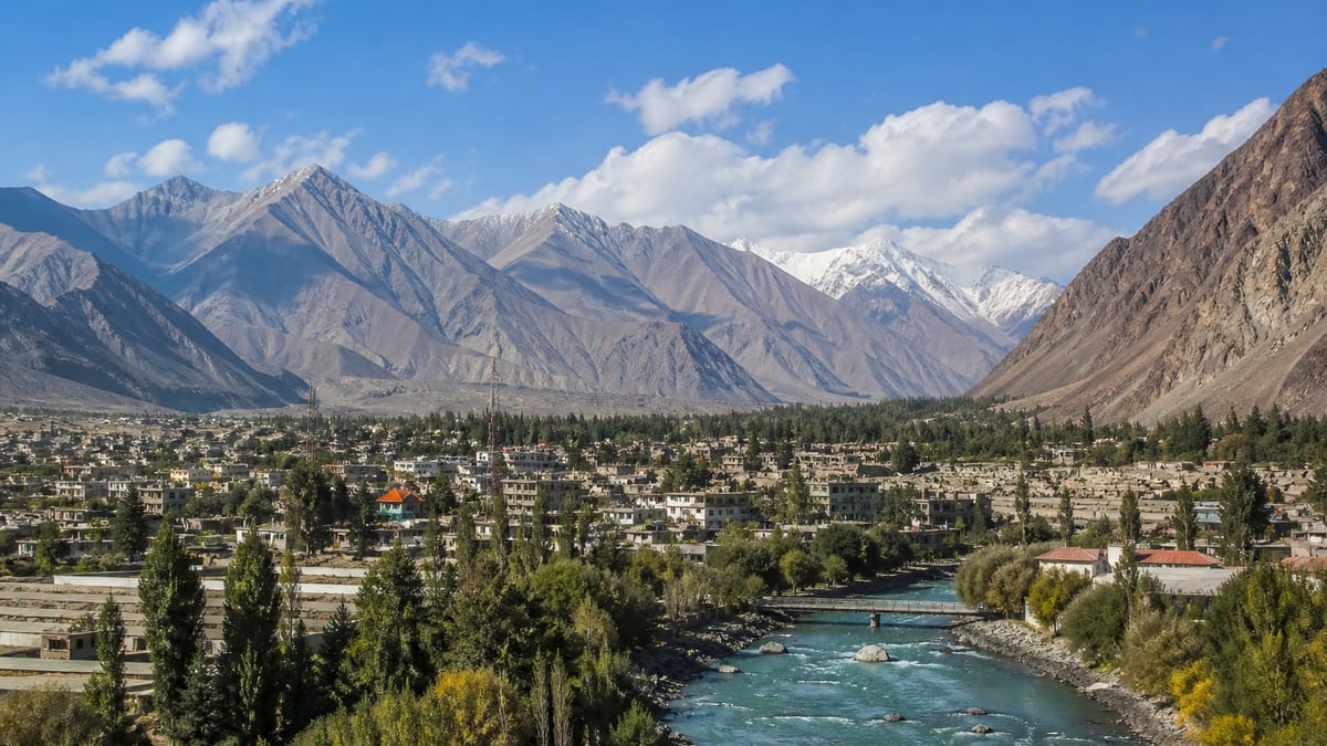
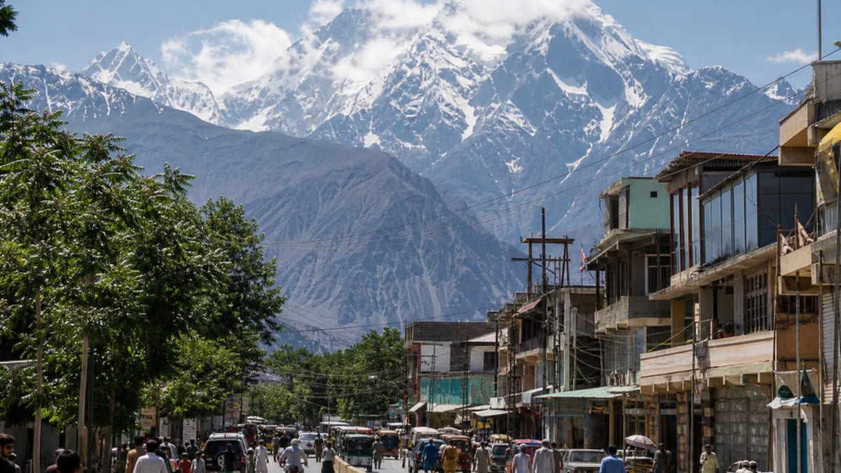
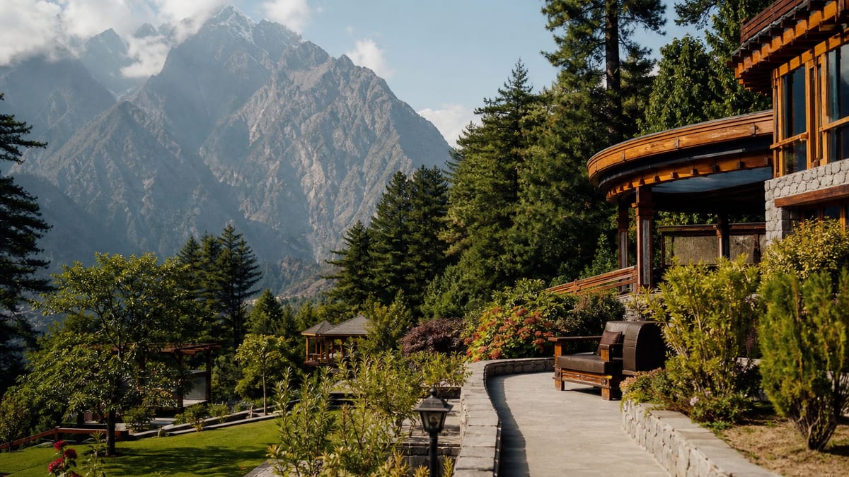
Gilgit is one of the ten administrative districts of Gilgit-Baltistan, and the district that holds the region’s namesake city. The places attached to it are Gilgit City, Kargah Buddha, Naltar Valley, and Naltar Lakes. The airport-city journey is Gilgit.
The city is also the usual air and road base before Hunza, Nagar, Ghizer, Astore, and Diamer. The road that continues from this side of the region toward Khunjerab is a different district’s border. That crossing is explained on Gilgit-Baltistan’s gateway to China. Gilgit District does not contain the pass. Gilgit District holds the namesake city and the usual air and road base for the north.
Where Gilgit sits
Gilgit covers 4,208 square kilometres, with headquarters in Gilgit itself. It is divided into three tehsils, and the 2023 population is 324,552. That is the second-largest population of these eight districts, on one of the smaller areas, which matches the city’s role as the dense base before the longer valleys. The three tehsil names are not listed with the places, so the count is given without a guessed set of names.
Ghizer, the next district west, covers 12,381 square kilometres with 200,069 people. Gilgit holds more people on about a third of that area. Nagar, reached through this city, is slightly smaller still, at 4,137 square kilometres and 87,410 people. The district’s own named spread is the city, Kargah a few miles out, and Naltar. Those four places are the public list inside 4,208 square kilometres and three tehsils.
The Gilgit River flows through the district. It enters from the west near Naltar Valley, so Naltar Valley and Naltar Lakes are the places on that approach, and Gilgit City is the headquarters they lead to. Kargah Buddha, about 6 miles (9.7 km) outside the city, sits on the near side of that same urban ground. The river is the line through 4,208 square kilometres. The three tehsils are the civil division of the ground it crosses, and their names are not on the place list.
District Gilgit has long been a trade centre in the Karakoram Range, on the historical Silk Route. That older story, including the way the route carried religious and cultural exchange, is on Silk Route legacy in Gilgit. You do not need it to name the four places. You do need it if the question is why the city sits where the valleys meet.
Winter travel in the regional calendar still treats Gilgit as reachable when the high passes are closed or difficult. April and May favour valley towns. June to August is when Khunjerab, Babusar, and Shandur are relied on together. September and October are the closing months. November to March leaves the city in play and the passes out of a normal plan. That split is why Gilgit can be a winter base and still not be a winter gateway to Khunjerab. The four windows are written in full on Climate and best time to visit Gilgit-Baltistan.
| Record | What is named |
|---|---|
| Role | Administrative district and the air-and-road base for the western valleys |
| Area | 4,208 km² |
| Headquarters | Gilgit |
| Tehsils | 3 |
| Population (2023) | 324,552 |
| Named places | Gilgit City, Kargah Buddha, Naltar Valley, Naltar Lakes |
| Language named here | Shina, with English and Urdu also widely spoken |
| Named properties | Serena Hotels Gilgit, Turgil Green Resort Naltar |
Gilgit City and Kargah
Gilgit City is the urban centre of the district. Gilgit Airport is one of the two airports named for the region, alongside Skardu International Airport. Schedules and tickets change. The district fact is simply that the city is the named air and bus gateway for the valleys to the north and west.
Kargah Buddha, locally Yshani, is a rock-carved standing Buddha estimated to the 4th to 7th century, about 6 miles (9.7 km) outside the city, with monastery and stupa remains nearby. Gilgit was a significant early Buddhist centre from the 3rd to the 11th century. The fuller account is Kargah Buddha and early Buddhism in Gilgit. As a district place, it is the short outing that belongs to Gilgit rather than to a neighbouring valley.
Naltar
Naltar Valley and Naltar Lakes are the other two Gilgit places. They are a valley and a lake group, not a second city. Turgil Green Resort Naltar is the property named with them. Serena Hotels Gilgit is the property named with the city. Those two are the lodging list for the district. A night in Hunza or Skardu is a different district’s hotel list.
Language
Shina is the local language named for Gilgit, with English and Urdu also widely spoken. Shina is also named among the common languages of Ghizer. The article is filed here. Speaker counts are not part of the record. Other languages of the region, including Balti and Burushaski, are filed with Ghanche and Hunza. They are not Gilgit’s local-language line.
How to use the destination page
Gilgit plans the landing, the Kargah day, and the decision about which valley comes next. This district record stops at the names that justify that plan: four places, one language, two properties, a Silk Route history, and a Buddhist site 6 miles out of the city. The China-border pass stays on the Hunza record and on the gateway article.
Why so many trips start in Gilgit
Gilgit District has a modest area but a large role. With the airport, the bus routes from Rawalpindi and Islamabad, and the Karakoram Highway running through it, it’s where most western-valley journeys start and end. That brings practical advantages. The city has more choice of supplies, transport and services than the valleys beyond it. Many visitors find it the best place to change money, buy missing kit, sort mobile data and confirm bookings before heading north or west.
It also means Gilgit is easy to underrate. Visitors often treat the district as a transit stop. Yet Kargah Buddha, Naltar Valley and Naltar Lakes are named places in their own right, and each is worth a proper day.
Planning by the four named places
A simple way to use the district is to give each kind of place its own pace:
| Place | Best treated as |
|---|---|
| Gilgit City | Arrival, supplies and a bazaar walk |
| Kargah Buddha | A short outing from the city |
| Naltar Valley | A full day or an overnight |
| Naltar Lakes | Part of the Naltar trip, weather permitting |
Travel times aren’t published on this record, so ask your driver or operator how long Naltar takes in your travel month, and whether the lakes are reachable on the day.
Visiting Kargah respectfully
Kargah Buddha is a historic religious carving, and the monastery and stupa remains nearby are part of the same heritage. Don’t climb on or touch the carving, keep to paths, and take any rubbish away with you. A local guide can explain the site’s place in Gilgit’s early Buddhist history. The history article gives background before you go.
Naltar in different seasons
Naltar sits higher than the city, and conditions there can differ sharply from those in town. The four regional travel windows explained in the climate guide are a starting point. For Naltar specifically, ask locally about road conditions and the state of the lakes before setting out, especially early or late in the season. Pack warmer layers than you’d need in the city.
Silk Route context for visitors
Gilgit’s place on the historical Silk Route helps explain why the city sits where it does, at a meeting point of valleys and trade. Seeing the city with that history in mind gives the bazaar a different feel. It’s been a place of exchange for a very long time. The Silk Route legacy article is a good short read before a city day.
A note on winter visits
Because the city stays in play when the high passes close, some travellers come to Gilgit in the colder months. Expect shorter days and colder nights, and ask about Naltar’s road before you plan a trip up the valley. A winter visit is a city-and-Kargah trip first. Any higher outing depends on local conditions on the day.
Courtesy and safety in the district
Dress modestly, ask before photographing people, and remove your shoes in mosques and homes. A few words of Shina are appreciated. Use licensed taxis and DTS-listed operators for trips to Naltar. Tourist Police can be reached on 1422 inside Gilgit-Baltistan and 05811-930055 from outside; see Contacting Tourist Police.
Frequently asked questions
Which places are in Gilgit District?
Gilgit City, Kargah Buddha, Naltar Valley, and Naltar Lakes.
What is Kargah Buddha?
A rock-carved standing Buddha, locally called Yshani, estimated to the 4th to 7th century, about 6 miles (9.7 km) outside Gilgit City, with monastery and stupa remains nearby.
Which language is named for Gilgit?
Shina, with English and Urdu also widely spoken.
Does Gilgit District include Khunjerab Pass?
No. Khunjerab is attached to Hunza. Gilgit is the city most journeys pass through before that road. The border itself is described on the gateway to China page.
Which properties are named for the district?
Serena Hotels Gilgit and Turgil Green Resort Naltar. Trip planning is on Gilgit.
How large is Gilgit District?
Gilgit covers 4,208 square kilometres with three tehsils and a 2023 population of 324,552.
Why do so many trips start in Gilgit?
The district holds Gilgit Airport, the bus routes from Rawalpindi and Islamabad, and the Karakoram Highway, which makes it the base for the western valleys.
Is Naltar a day trip from Gilgit City?
It can be, but travel times are not published. Many visitors give Naltar a full day or an overnight.
How should I behave at Kargah Buddha?
Do not climb on or touch the carving, keep to paths, and take rubbish away. A local guide can explain the history.
Who do I call in an emergency in Gilgit District?
Tourist Police on 1422 inside Gilgit-Baltistan, or 05811-930055 from outside.