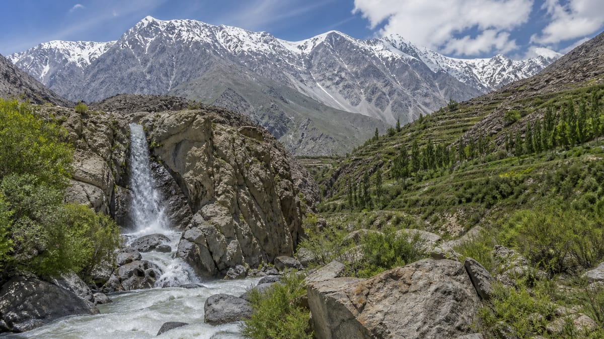
District
Kharmang
Kharmang covers 6,144 square kilometres and was separated from Skardu in 2015. Headquarters is Kharmang, and Mantokha Waterfall is the only named place.
Gilgit-Baltistan is organized into official administrative districts. Use district pages to discover destinations, places, and stay options linked to each area.
District
Kharmang covers 6,144 square kilometres and was separated from Skardu in 2015. Headquarters is Kharmang, and Mantokha Waterfall is the only named place.

District
Ghanche is the easternmost district, covering 8,531 square kilometres. Headquarters is Khaplu, the Shyok flows through it, and the named place is Hushe Valley.


District
Skardu District covers 10,168 square kilometres, with headquarters at Skardu and a 2023 population of 278,885. Named places are Kachura Lake and Sadpara Lake.

District
Diamer covers 7,234 square kilometres, with headquarters at Chilas and five tehsils. Fairy Meadows is the named place, and the Karakoram Highway passes through.
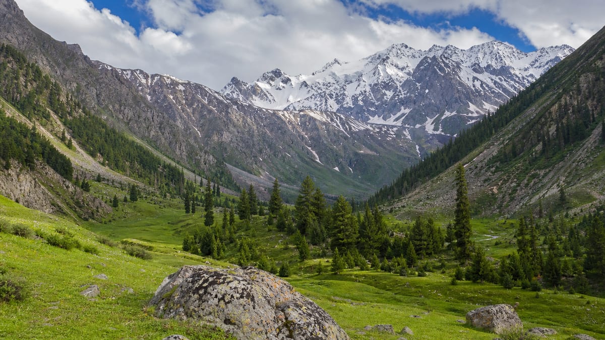
District
Astore District covers 5,411 square kilometres, with headquarters at Eidghah and two tehsils. Named places are Rama Lake, Domail Valley, and Blinkd Lake.

District
Ghizer covers 12,381 square kilometres, with headquarters at Gahkuch and five tehsils. Named places include Shandur Pass, Khalti Lake, and Phander Lake.

District
Nagar District covers 4,137 square kilometres and was formed in 2015 when Hunza-Nagar was split. Named places are Hoper Glacier, Sikandarabad, and Pissan.


District
Gilgit covers 4,208 square kilometres, with headquarters in Gilgit. The Gilgit River enters from the west near Naltar, and the 2023 population is 324,552.
Welcome to Gilgit-Baltistan Tourism
How can we help you plan your journey?
For flight booking assistance, contact us:
Phone: 03462559008
Email: esd.shigri110@gmail.com
Subscribe for new destinations, travel guides, tourism updates and important travel information.