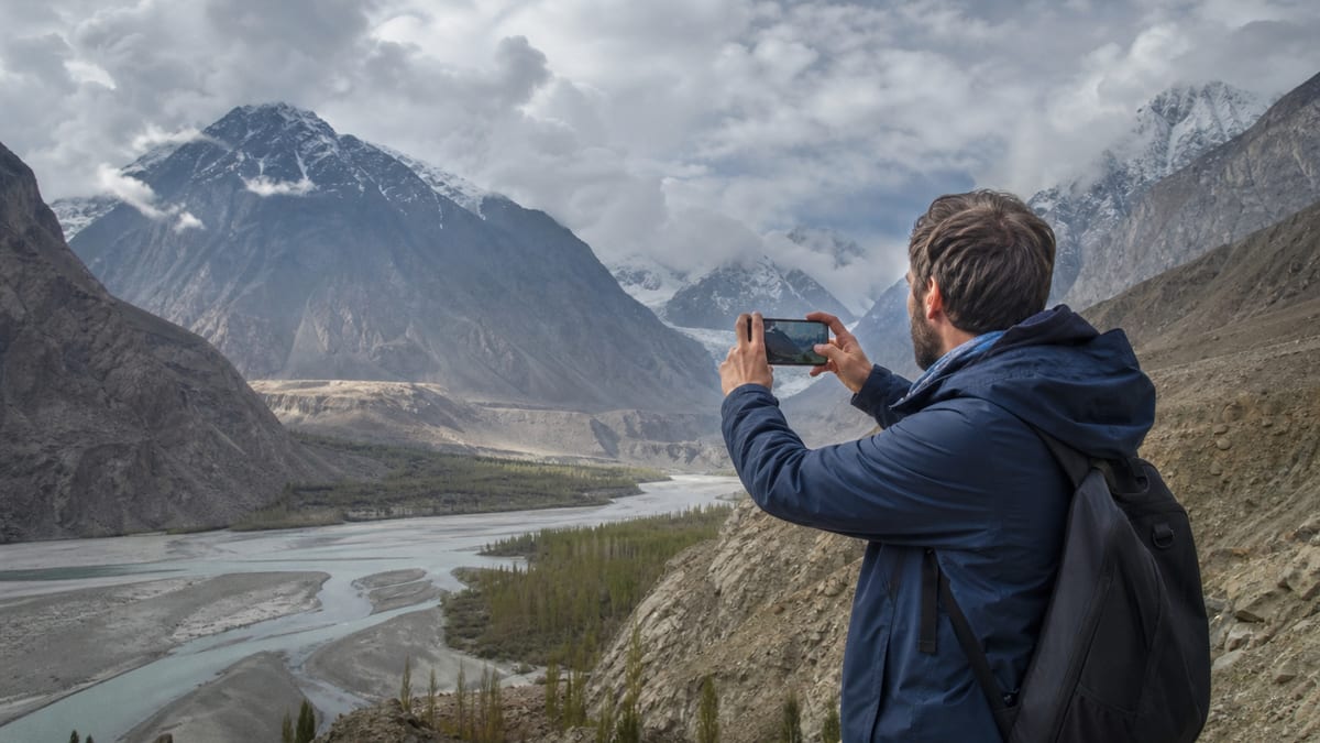
Gilgit-Baltistan is one of the most photographed mountain regions in the world, and most of it’s open to your camera. But the tourism department FAQ sets clear limits. It says photography is strictly prohibited in restricted areas, which it describes as 5 miles along the Line of Control and 10 miles along the Wakhan corridor, and at military installations and sensitive border areas. It advises seeking permission before photographing in those areas.
That’s the published rule, and this page explains what it covers, where it’s likely to matter on a real trip, and what it leaves out. We don’t add fines, permit procedures, drone rules or official maps. The FAQ doesn’t publish them, so neither do we.
The rule in three parts
1. Restricted belts. The FAQ names two distance-based zones: 5 miles along the Line of Control and 10 miles along the Wakhan corridor. Photography is strictly prohibited there.
2. Military installations. Photography is prohibited at military installations, wherever they are, not only near borders.
3. Sensitive border areas. The FAQ adds sensitive border areas as a further category. It doesn’t define them or list them.
The sentence closes with advice: seek permission before photographing in those areas. The wording is “strictly prohibited” followed by “seek permission”. We read that as: don’t photograph there unless you’ve been given permission. The FAQ doesn’t say who grants permission or how.
What the site does and doesn’t say
The thin version of this page told readers to confirm forms, fees and permits “with the office named in that sentence”. The photography sentence doesn’t name an office, and it doesn’t describe a form or fee. Here’s what our pages actually cover.
The site does say:
- photography is strictly prohibited in restricted areas, at military installations and in sensitive border areas;
- restricted areas are described as 5 miles along the Line of Control and 10 miles along the Wakhan corridor;
- visitors should seek permission before photographing in those areas;
- the Naltar ski area is next to a PAF facility, as our travel safety guidance page notes from the Naltar page;
- photographing people is a courtesy matter, covered on visitor customs and dress.
The site doesn’t say:
- which office grants permission;
- what the penalty is for breaking the rule;
- where exactly each restricted belt begins and ends;
- a list of military installations or sensitive border areas;
- specific rules for drones.
We don’t publish a map, and we won’t guess at boundaries. If you’re unsure whether a place is restricted, don’t photograph it, and ask your guide, operator or the authorities on site.
Where this matters on a real trip
Most visitors spend their time in valleys, towns and viewpoints well away from these zones. A few kinds of trip bring the rule closer.
| Situation | Why it matters | Read more |
|---|---|---|
| Travelling towards a border | Sensitive border areas are covered | Gateway to China |
| Treks in restricted zones | Restricted areas need permits and licensed staff | Trekking and mountaineering regulations |
| Skiing or visiting Naltar | The ski area is next to a PAF facility | Travel safety guidance |
| Passing checkposts | Police and security posts are on many roads | Road approaches |
Our Shandur Pass page also notes that the boundary there has been disputed and advises visitors to be respectful and leave politics to the locals. That’s sound advice wherever borders are near.
Checkposts and security staff
Our Shandur and Babusar pages advise carrying your CNIC or passport for police checkposts. Treat checkposts as places where you put the camera away. Don’t photograph staff, barriers or buildings, and don’t film from a moving vehicle as you pass. If an official asks you to delete a photo or stop filming, do so politely.
Drones
The FAQ’s photography sentence doesn’t mention drones, and our pages don’t publish a drone rule. That isn’t the same as permission. A drone over a restricted belt, a military installation or a sensitive border area would raise the same concerns as a camera, and probably more. Our trekking permits guide flags photography and drones together, noting that some areas are sensitive. If you plan to fly, check the current requirements with the authorities before you travel, and don’t launch near anything that looks like a security site.
Photographing people
The FAQ’s prohibition is about places. Photographing people is a different matter, covered by courtesy rather than by this rule. Our visitor customs and dress page says to ask before photographing people, especially women and children, and inside places of worship, and to respect a “no”.
A few habits help:
- Ask first, even with a smile and a gesture if you don’t share a language.
- Show the person the photo if they’d like to see it.
- Don’t photograph people praying.
- Be especially careful in homes and homestays; our homestay regulations page covers being a good guest.
- If you promise to send a copy, do it.
Photographing cultural sites
Heritage places aren’t in the FAQ’s prohibited list, but individual sites may set their own rules. Our visiting cultural sites page covers the FAQ’s guidance to respect local customs at cultural sites. Follow any sign that restricts photography inside a building, and ask before photographing inside a mosque or shrine.
Photographing wildlife
Wildlife photography is one of the region’s great draws. It’s covered by wildlife and park rules rather than the photography sentence. Our wildlife viewing regulations page explains the FAQ’s wildlife rule, and our Himalayan brown bear of Deosai page describes one of the most sought-after subjects. Keep your distance, don’t bait or chase animals, and use a long lens rather than getting closer.
Landscape photography: where you’re free to shoot
The FAQ’s rule is narrow. It doesn’t stop you photographing mountains, lakes, glaciers, villages or skies in the ordinary places most visitors go. Our Hunza destination page, our Gilgit destination page and the place pages linked from them describe many open viewpoints.
Practical tips for landscape work:
- Light changes fast in the mountains. Early morning and late afternoon are usually best.
- Batteries drain in the cold. Carry spares close to your body; see our packing guide.
- Don’t stop on narrow roads or blind bends to take a picture. Find a safe pull-off.
- Watch your footing near cliff edges, rivers and glacier margins. Our travel safety guidance page covers these hazards.
- Respect private land and crops when looking for a vantage point.
Sharing photos online
The FAQ’s rule is about taking photographs, but think about what you post as well. A picture that shows a checkpost, a security building or a sensitive border feature shouldn’t be shared, even if you took it by accident. Delete it. Be thoughtful with photos of people too. Someone who agreed to a portrait may not want it published with their village name, and children’s faces deserve extra care. Avoid geotagging homes, homestays and quiet sacred places that could be harmed by sudden crowds. Good travel photography from Gilgit-Baltistan can inspire visitors and support local tourism. It works best when it also respects the people and places in the frame.
Working with a guide
A licensed local guide knows where photography is welcome and where it isn’t. Our tour guide regulations page explains that guides must know the region’s history, culture and geography. On treks in restricted areas a licensed guide is mandatory, and their advice on cameras should be followed.
If you’re stopped
If security staff or police stop you over a photograph, stay calm and polite, show your ID and follow instructions. If you need help, our guide to contacting the tourist police explains what to say and where the department’s emergency numbers are published.
Frequently asked questions
What does the FAQ say about photography?
It says photography is strictly prohibited in restricted areas, at military installations and in sensitive border areas, and advises seeking permission before photographing there.
What are the restricted areas?
The FAQ describes them as 5 miles along the Line of Control and 10 miles along the Wakhan corridor. It also names military installations and sensitive border areas.
Who gives permission to photograph in those areas?
The FAQ doesn’t name an office. If you’re unsure, don’t photograph, and ask your guide or the authorities on site.
Is there a map of restricted belts?
Our pages don’t publish one, and we don’t guess boundaries.
Can I fly a drone?
The FAQ doesn’t publish a drone rule. That isn’t permission. Check current requirements before you travel and don’t fly near security sites.
Can I photograph checkposts?
Don’t. Put the camera away at checkposts and follow staff instructions.
Can I photograph local people?
Ask first, especially before photographing women and children, and respect a “no”. That’s a courtesy, not part of the FAQ’s prohibition.
Can I photograph forts and heritage sites?
They aren’t in the FAQ’s prohibited list, but follow any site signs and ask before photographing inside places of worship.
Is Naltar affected?
Our pages note that the Naltar ski area is next to a PAF facility. Military installations are covered by the prohibition, so be careful where you point the camera.
What’s the penalty for breaking the rule?
The FAQ doesn’t say, and we don’t guess. Treat the prohibition seriously.
Source
Frequently Asked Questions (Gilgit-Baltistan Tourism Department) · Tourism, Sports, Culture, Archaeology & Museums Department, Government of Gilgit-Baltistan · Accessed 2026-08-27


