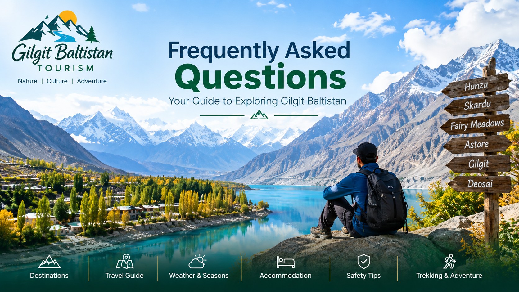
Why do so many travellers, climbers and researchers end up in Gilgit-Baltistan? And what do you actually need to know before you go? This page answers the big-picture questions about why the region matters, then points you to the detailed answers, valley by valley. The question sections below cover Hunza, Skardu, Gilgit, Astore, Ghizer, Nagar, Deosai, Ghanche and Shigar. Get your bearings here first, then open the question sections below.
A quick note on how to read it: where we give a height, a date or a rule, it comes from tourism department material or from the pages already published on this site. Where a detail changes from season to season — fees, road status or opening dates — we tell you to check it. We don’t paper over it.
Why Gilgit-Baltistan matters
The mountains
Gilgit-Baltistan holds one of the greatest concentrations of high mountains on Earth. The Karakoram, the western Himalaya and the Hindu Kush all reach into the region. K2, at 8,611 m, is the second-highest mountain in the world. Nanga Parbat, at 8,126 m, anchors the region’s southern side above Fairy Meadows. Around them stand peaks like Broad Peak, Gasherbrum I and Gasherbrum II, Rakaposhi and Masherbrum. Our mountains section holds more than a hundred peak records taken from the official permit peaks list.
For Pakistan, these mountains are part of the national identity. Generations of high-altitude workers, porters, guides and climbers from Skardu, Hunza, Ghanche and other parts of the region have supported — and increasingly led — expeditions on the world’s hardest peaks.
Glaciers, lakes and high plateaus
The same mountains feed some of the longest glaciers outside the polar regions, along with countless high lakes. The best-known include Attabad Lake in Hunza, Kachura Lake and Sadpara Lake near Skardu, Rama Lake in Astore, and Phander Lake and Khalti Lake in Ghizer. Deosai National Park is a high alpine plateau between Skardu and Astore. The tourism department notes it was designated in 1993 to protect the Himalayan brown bear.
A crossroads of trade and faith
Long before the Karakoram Highway, Gilgit was a trade centre on the routes we now call the Silk Road. The Gilgit district tourism page describes it as a centuries-long trade centre in the Karakoram and credits the Silk Route with spreading religious and cultural diversity. You can still see traces of that past at Kargah Buddha, a rock-carved standing Buddha outside Gilgit. Department material dates it to the 4th–7th century. Read more in Silk Route legacy in Gilgit and Kargah Buddha and early Buddhism.
The gateway to China
Today the Karakoram Highway climbs through Hunza to Khunjerab Pass. At 4,693 m, it’s the highest paved international border crossing in the world. That makes Gilgit-Baltistan Pakistan’s land link to China, a role our gateway to China page explains, including the difference between trade access and the tourist season.
Living cultures and languages
Gilgit-Baltistan isn’t one culture but many. Each valley has its own language, music, dress and food. Shina, Balti, Burushaski, Wakhi and Khowar are all spoken here. Festivals like Noroz, Jashn-e-Mefang and the Shandur Polo Festival — held at what the Ghizer district page calls the highest polo ground in the world — are part of community life, not shows staged for visitors. Our culture of Gilgit-Baltistan and traditional dishes pages are good starting points.
Heritage you can visit
Restored forts like Baltit Fort and Altit Fort in Hunza, along with historic polo grounds, watchtowers and old mosques, make the region one of Pakistan’s richest for heritage travel. See heritage forts of Hunza and cultural heritage of Hunza.
Why it matters for tourism
Put together, that supports almost every kind of travel. You can do gentle sightseeing and family trips, or take on cultural and heritage tours. There’s photography, camping and hiking, serious trekking, and full mountaineering expeditions.
Tourism matters to local communities too. Guesthouses, drivers, guides, porters, cooks and small shops depend on visitors. That’s one reason the tourism department licenses hotels, guides, operators, porters and homestays, and why the published rules ask visitors to respect local customs and leave campsites clean. When you choose a licensed operator or a registered guide, stay in locally run accommodation, and follow visitor customs and dress, more of the benefit stays in the valleys you came to see.
How to use the FAQ sections below
The question sections are grouped by area. Here’s what each one is best for, with the page to read next.
Hunza
Hunza is the classic first trip: Karimabad, the forts, Attabad Lake, Passu, and the drive to Khunjerab. After the FAQs, read the Hunza Valley and Hunza destination pages.
Skardu
Skardu is the base for Baltistan’s lakes, deserts and valleys, and for the K2 approach. Continue with Skardu destination and the airports guide.
Gilgit city
Gilgit is the regional hub and the starting point for Naltar, Kargah and the KKH north. See Gilgit city and Naltar Valley.
Astore
Astore offers green valleys, Rama, and the western side of Deosai. See Astore destination.
Ghizer
Ghizer is the quiet west: Phander, Khalti, and the road to Shandur. See Ghizer destination and Phandar Valley.
Nagar
Nagar sits across the river from Hunza, with Hoper and its glaciers. See Nagar destination and Hoper Glacier.
Deosai
Deosai is a summer-only plateau. Read national park visit regulations before you go.
Ghanche and Kharmang
This is Khaplu, Hushe and the Shyok valley, plus Kharmang’s waterfalls. See Ghanche destination, Hushe Valley and Mantokha Waterfall.
Shigar and Diamer
This section covers Shigar’s heritage and cold desert, plus Fairy Meadows and Nanga Parbat. See Shigar Valley, cold desert Shigar and Diamer destination.
Planning essentials, in brief
The detailed answers sit in the sections below and on the linked guides. These are the points we’d stress to any first-timer:
- Timing depends on height. The valleys and the high passes run on different calendars. Khunjerab, Babusar and Shandur are realistically a summer and early-autumn trip. See best time to visit.
- Distances are bigger than they look. Mountain roads are slow. Build in rest days and spare days for weather. See getting to Gilgit-Baltistan.
- Flights are weather-dependent. Gilgit and Skardu flights are often cancelled in cloud, so keep your plans flexible.
- Drive in daylight. The tourism department advises caution on mountain roads, an experienced local driver, and avoiding night travel and severe weather. See travel smart, stay safe.
- Carry cash. The FAQ notes that cards aren’t widely accepted. See local currency and cash.
- Know the permit rules. Restricted-area trekking and climbing need permits, licensed guides and porters. Camping and national parks have their own rules too. See trekking and mountaineering permits.
- Save emergency contacts. See contacting the tourist police.
How much time to give it
The answers below suggest five to seven days if you’re visiting a few selected places, and ten to fourteen days or more to explore several major areas comfortably. In practice, the best trips usually focus on one side of the region at a time — so you don’t spend half the holiday in the car.
One base, one week
Pick Hunza or Skardu, fly or drive in, and use day trips from there. In Hunza that might mean the forts, Attabad Lake, Passu and a Khunjerab day in season. From Skardu it might mean Kachura, Sadpara, the cold desert at Shigar, and Deosai in summer.
Two bases, ten days or more
Combine the Gilgit–Hunza–Nagar side with the Skardu–Shigar–Ghanche side. The road between Gilgit and Skardu is long, so treat the transfer as a full travel day in its own right.
Treks and expeditions
Trips like the Baltoro to K2 Base Camp run to weeks, not days, and need a licensed operator and the right permits. Plan them separately from a sightseeing holiday.
Travelling responsibly
The tourism department’s published rules keep coming back to the same few ideas: respect local customs, dress modestly, take your shoes off before entering a mosque or a home, camp only where camping is allowed, and leave no trace. Ask before photographing people or private homes. Our page on photography restrictions covers drones and sensitive sites. These small habits are a big part of why visitors are welcomed back.
Frequently asked questions
Why is Gilgit-Baltistan important to Pakistan?
It holds many of the world’s highest mountains, including K2 and Nanga Parbat, plus vast glaciers and high lakes. It’s Pakistan’s land route to China over Khunjerab Pass. It’s also home to distinct cultures and languages and a long Silk Route and Buddhist heritage. All of this makes it the centre of the country’s mountain and adventure tourism.
Is Gilgit-Baltistan only for trekkers and climbers?
No. Hunza, Skardu, Gilgit and many accessible valleys suit families and sightseers. Forts, lakes, viewpoints, festivals and food are as much a draw as the peaks. Match the trip to your fitness, the season and the road conditions.
How many districts does Gilgit-Baltistan have?
The site’s district pages cover ten: Gilgit, Hunza, Nagar, Ghizer, Diamer, Astore, Skardu, Shigar, Kharmang and Ghanche. Each one has its own district page on this site.
What is the single most useful planning tip?
Leave slack in your itinerary. Weather, landslides and cancelled flights are a normal part of mountain travel. A spare day or two turns a disrupted trip into a relaxed one.
Where can I check rules, fees and road conditions?
Rules are summarised on our knowledge pages, and dated advisories are on our alerts pages. Fees, permits and live road status change, so confirm them with the issuing office, the authorities, your operator or your accommodation before you travel.
Why is Gilgit-Baltistan called Pakistan’s gateway to China?
The Karakoram Highway climbs through Hunza to Khunjerab Pass, at 4,693 m the highest paved international border crossing in the world. That makes the region Pakistan’s land link to China. Our gateway to China page explains the difference between trade access and the tourist season.
Which languages are spoken in Gilgit-Baltistan?
Several. Shina, Balti, Burushaski, Wakhi and Khowar are all spoken here, and each valley has its own mix of language, music, dress and food. Our languages section has more.
Should my first trip be to Hunza or Skardu?
Either works as a single base for a week. Hunza is the classic first trip, with Karimabad, the forts, Attabad Lake and Passu. Skardu is the base for Baltistan’s lakes, the cold desert at Shigar, Deosai in summer and the K2 approach. Pick one side rather than rushing both.
Can I pay by card in Gilgit-Baltistan?
Don’t count on it. The tourism department FAQ notes that cards aren’t widely accepted, so carry enough cash. See local currency and cash and check current arrangements with your accommodation or operator.
How does tourism help local communities?
Guesthouses, drivers, guides, porters, cooks and small shops depend on visitors. Choosing a licensed operator or a registered guide, staying in locally run accommodation and respecting local customs keeps more of the benefit in the valleys you visit.